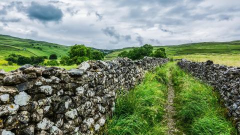
Time running out to register historical rights of way

Way back, before the present-day dominance of the motor car, the network of footpaths and bridleways that criss-cross the countryside were an essential means for most folk to go about their business. However, disuse, neglect, and obstruction have led to many of these ways being forgotten and lost.
More than 40,000 miles of path are thought to remain unrecorded. The problem is aggravated because there has always been a deadline that has steadily been ticking down. Recently, this deadline was as close as the 1 January 2026 and there was intense campaigning to get it abolished. Instead, the government extended it and the current date to work to is now the 1 January 2031. As the law currently stands, if these historical rights of way are not recorded by then, they will be lost forever.
It is therefore incumbent on those who care about preserving access across the countryside to register these lost ways before it is too late. Without a right of way useful or interesting routes can be blocked up by the landowner, preventing access to beautiful areas of the countryside or the use of shortcuts between villages and towns. This is a task that anybody can do, but a bit of legal training certainly helps. It’s an engaging process that simultaneously develops your skills and fulfils an important public service.
A good starting point is to look at historical Ordnance Survey (OS) maps which are now out of copyright. Many universities, including the Open University, subscribe to Digimap which shows many of the local footpaths. Just because they are shown on a map does not mean that they are public footpaths, but they are some evidence of where a footpath might be found.
Much more valuable are the local enclosure awards. Enclosure was the process from around the 19th century, often controversial, whereby common land was transferred to private ownership through Acts of Parliament. Commissioners drew up awards confirming which land was assigned to who. These enclosure awards are often available, either in the National Archives, or in local history archives or centres. You can find your local history centre or archive at the National Archives website. Crucially, these awards often identified the public rights of way, which were essential for the population to continue to move around. Due the legal principle of 'once a highway, always a highway', these can provide essential evidence in support of a right of way. Often the passages dealing with highways are towards the end of the award.
Another key source are surveys carried out pursuant to the Finance Act 1910. These are also often in local history centres. Surveys of the land across which a right of way is thought to exist can provide further evidence of the existence of the right of way. This is because having a public right of way was thought to decrease the value of the land, and the records and forms corresponding with the parcels of land therefore have specific entries for value reductions for highways.
The local archive or history centre may also contain other sources of information which can provide evidence of the existence of a right of way, for example surveys carried out for railways, tithe maps, and records of the highway authority.
Applications to register a right of way are made under section 53 of the Wildlife and Countryside Act 1981 for a change to be made to the ‘Definitive Map and Statement’. This document provides public confirmation of the existence rights of way. The application process is set out in Schedule 14 of the Act, and specific forms need to be used. Each local highways authority has guidance on the process and a copy of the form to be used. Information on the councils holding the definitive maps, to whom applications need to be made, can be found at the Land Registry Definitive rights of way website. A local highway authority’s process and forms can be found through a general internet search: see for example the guidance issued by Milton Keynes Council (where the OU campus is located). The form is not onerous and requires the applicant to identify the right of way on a map and provide evidence of its existence. The application then needs to be served on the landowner (which can usually be found through a search at the Land Registry website), and sent to the relevant local authority.
If you do identify a right of way and make an application to register it, please let us know via our email address [email protected] so we can publicise your achievement!
Dr Paul Troop
In this blog post Dr Paul Troop writes about historical rights of way and how time is running out to register them. This blog was originally published as part of the Open Justice Week in 2025.
